
One session. Four formats.
We use advanced technology that enhances the experience for every party involved. Collestate was designed to reduce production and sales costs and timelines.
Photos + Virtual Tour + Floor Plans + Videos

Professional photo

Professional photo

Professional photo
Professional photo
HDR Professional Photography
Private data blurring — family photographs, licence plates and personal identifiers — to protect the owner's privacy.
Delivered within 24 hours, ready to publish — accelerating time to market.
AI-processed versions using professional platforms built specifically for real estate, not general-purpose tools.
Responsible Virtual Home Staging.
360º Virtual Tours
3D tours from professional scans that capture spaces from all angles and combine them into a seamless viewing experience.
Recent studies show they generate
87% more views, 100% click-through rates (CTR) on portals, 45% more engagement, 130% more enquiries, and longer viewing times.
High-precision LiDAR laser technology to scan properties, capture every angle, and record precise measurements.
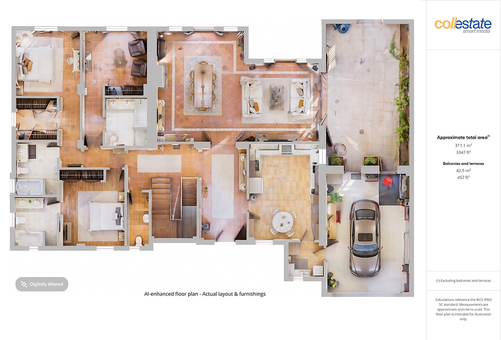


Floor Plans
We produce floor plans and spatial documentation following IPMS 3C and IPMS 4.2 measurement standards — internationally recognised frameworks developed by RICS and the International Property Measurement Standards Coalition.
Delivered in multiple file formats, including standard .PNG, .SVG and .JPG for marketing use.
E57 and PLY files available for architects.
*AI-enhanced floor plans with real layout & furnishings.
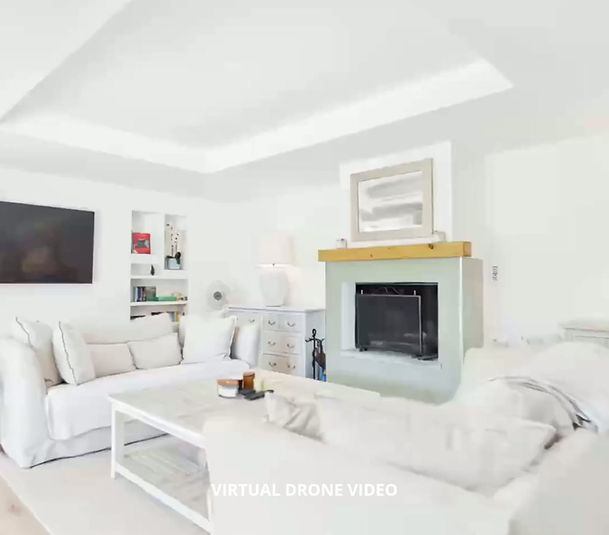
Videos for social media
and platforms
Professional videos optimized for social media.
Each project includes between 10 and 15 videos ready to publish , delivered in vertical, horizontal and square formats, so that the property has a native presence on any platform without cropping or re-editing.
Designed to capture attention in the first few seconds and maximize conversion. All indicators show that real estate videos can generate up to 120% more engagement.
Virtual drone videos*. Cinematic videos. Walkthrough videos.
*FPV first person view from LiDAR scan